|
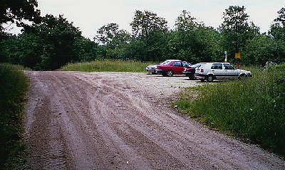
This is the parking lot on the 15-16 Sideroad, at the north end of the Nottawasaga Access Trail |
 |
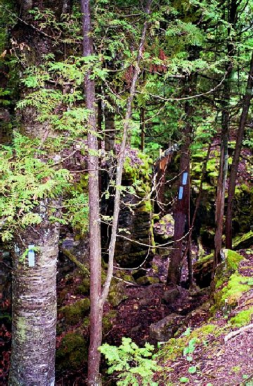 |
This is the view down into the set of 'canyons'. The markings on the tree towards the centre of the picture are a good example of a 'the path turns to the right' indicator. Remember, read the markings from the bottom and it becomes quite clear. |
|
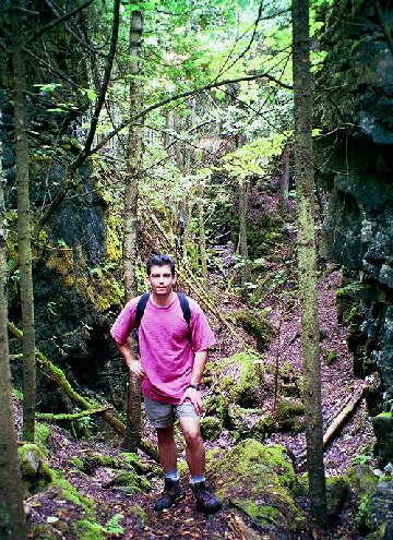
This picture was taken inside the various 'canyons'. Note that the rocks on either side go up beyond the top of the picture. |
 |
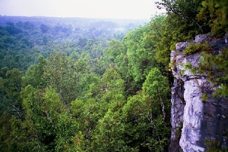 |
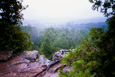
The view south from about 18.6km on the Blue Mountain Section of the trail. |
|
Another view from the same spot as above. |
 |
 |
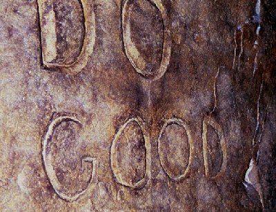
The first of two quotations inside "The Tomb" near Freedom Rock. |
|
The second quotation. |
 |